Over the past few years, the polar Vortex has been shifting but that doesn’t mean the Northern Hemisphere is going to be experiencing a milder winters. The polar vortex is shifting, and it’s going to make winters on the east coast of the US and parts of Europe even longer, with exceptionally cold temperatures expected during March.
The polar vortex is a zone of cold air that swirls around the Arctic during winter. When parts of the vortex break apart (weakens), it can cause unseasonably cold conditions in late-winter and early-spring in the Northern Hemisphere. This happened in early 2014 and caused an extreme weather event in the northern US and Canada.
Not many people realise there are actually two polar vortices: the stratospheric polar vortex, which is about 19,800 metres (65,000 feet) above the surface of the Earth; and the tropospheric polar vortex around 5,500 to 9,100 metres (18,000 to 30,000 feet) above the surface. Usually, when the weather forecasters are talking about the polar vortex, they’re referring to the tropospheric vortex, which is the one that rips apart and plunges cold air towards mid-latitude cities, such as New York. The stratospheric polar vortex, can have a bigger, but more subtle effect on mid-latitude weather.
The stratospheric polar vortex has gradually been moving towards the Eurasian continent, and getting weaker over the past 30 years. That might sound like a good thing for warm weather lovers, but a weaker polar vortex means a vortex that’s more likely to break, and those breakages are what send unseasonably late winter blasts of cold air down to the rest of the world. When the polar vortex is strong, on the other hand, all that cold air gets contained nicely in the Arctic circle where it traditionally is at that time of year. The weakening of the polar vortex isn’t necessarily new, it’s something several studies have shown over recent years. But this study also shows that the vortex is moving away from North America and towards Europe and Asia during February each year, and that could cause the east coast of the US to get even colder.
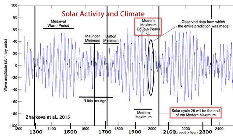
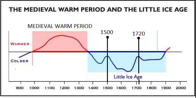
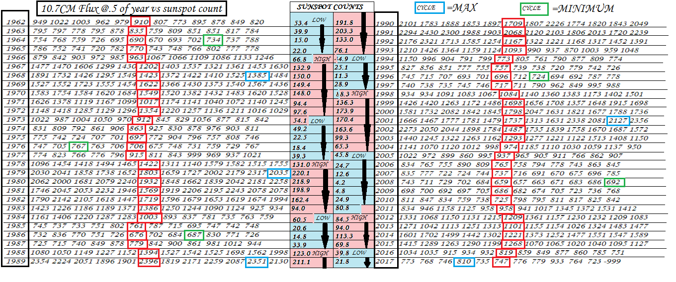
The meteorology is complicated, but the study says this shift tends to result in more of a dip in the jet stream over the east coast during February/March, which leads to colder temperatures, studies also found that this vortex shift is “closely related“ to shrinking sea ice coverage in the Arctic, particularly in the Barents-Kara seas, and increased snow cover over the Eurasian continent. But that link is still a little tenuous, The main issue here is that researchers have found a correlation, but no one has been able to show exactly how melting ice in the Arctic sea is causing the polar vortex to shift. The problem with most if not all of the Arctic/jet stream studies has been the lack of a clear physical cause and effect relationship, with correlations found but mechanisms as yet uncovered, However the consequences will still remain throughout Winters coupled with less solar irradiance and the ever increasing influx of Cosmic Rays, cooling Sea surface temperatures in 2016/17 and sun spots a rarity during cycle 24/25 Earth could be heading into temperatures similar to that of the maunder minimum of 1647-1715, a key component indeed will be the progression of solar cycle 25, so we have a decade at most to evaluate our current status and change the mindsets of CO2 induced climate change.
Watch this space for topical updates throughout cycle 25.